-
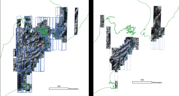
Kaikoura DEMs

Topographic Change and Cascading Hazards Following the November 13th 2016 Mw7.8 Kaikoura (New Zealand) Earthquake.
Landscapes evolve extremely rapidly during and immediately after a natural disaster. Data collected during the first hours to days after an event provide critical information about the disasters causal mechanisms, but are hard to capture. Very high-resolution topographic surveys are traditionally expensive, difficult to quickly organize and so small in geographic extent that they often fail to sufficiently characterize all the effects of an earthquake, wildfire or flood. Advances in high performance computing coupled with stereo-satellite imagery are providing regional scale data that can be used to derive accurate digital surfaces. Such surveys can be repeated such that a topographic time-series can be generated quickly and relatively inexpensively.