Project Thumbnail
-
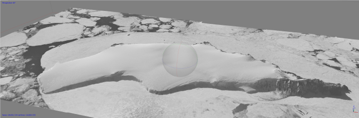
Franklin Island, Ross Sea, 1961

Mid 20th Century Ice Heights from Archived Antarctic Aerial Photography.
Body
We are extracting three-dimensional topography from old air photos of Antarctica collected by Navy expeditions. We are automating the process as much as possible using python scripting. These ice heights and trimlines will be used as constraints for ice sheet models. This project is nearing completion and is supported by NASA.