-
Landslide-Glacier Interaction

The Interaction of Mass Movements with Natural Hazards Under Changing Hydrologic Conditions.
We assess the interactions between mass movements, extreme precipitation, wildfire damage, and earthquakes and the potential for some sequence of these natural hazards to cascade into large-scale disasters. In order to accomplish this goal remote sensing data, optical DEMs, drone-based surveys and in situ data are used with physically-based models to study specific regions and events.
We:
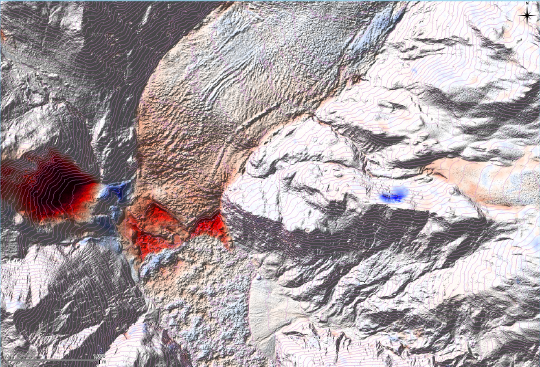
1. Analyze the spatial scales, magnitude and rates of mass movements (DEMs, InSAR, GNSS), both past and present, in four locations with histories of cascading hazards in order to study the interactions between site conditions, precipitation, earthquakes, wildfire and climate change. In particular, we investigate the interaction of large precipitation events with past and present mass movements in Colorado, earthquakes, debris dams and mass movements in California, wildfire and mass movements in Washington state and climate change, glacial recession and mass movements in southern Alaska.
2. Expand our analysis to larger regional simulations, incorporating soil moisture changes from SMAP, AMSR-E and observationally-driven land surface models, time-dependent precipitation data from GPM/TRMM and stations, proxies for SWOT and land cover for the intermountain West and West Coast of North America. Results from the regional simulations and surface motion from optical and InSAR imagery, along with in situ measurements, serve as input into coupled watershed scale hydrologic, mass movement, and hydraulic models in order to understand the interactions between solid earth hazards, hydrologic extremes, and cascading downstream hazards. Validation and sensitivity analyses identify key processes in the interactions between the individual hazards and the optimal spatial and temporal scales for the merged datasets.
3. Develop hydro-topography scaling parameters for both local and regional processes and interactions informed by the validation of regional datasets with high-resolution remote sensing and model results.