-
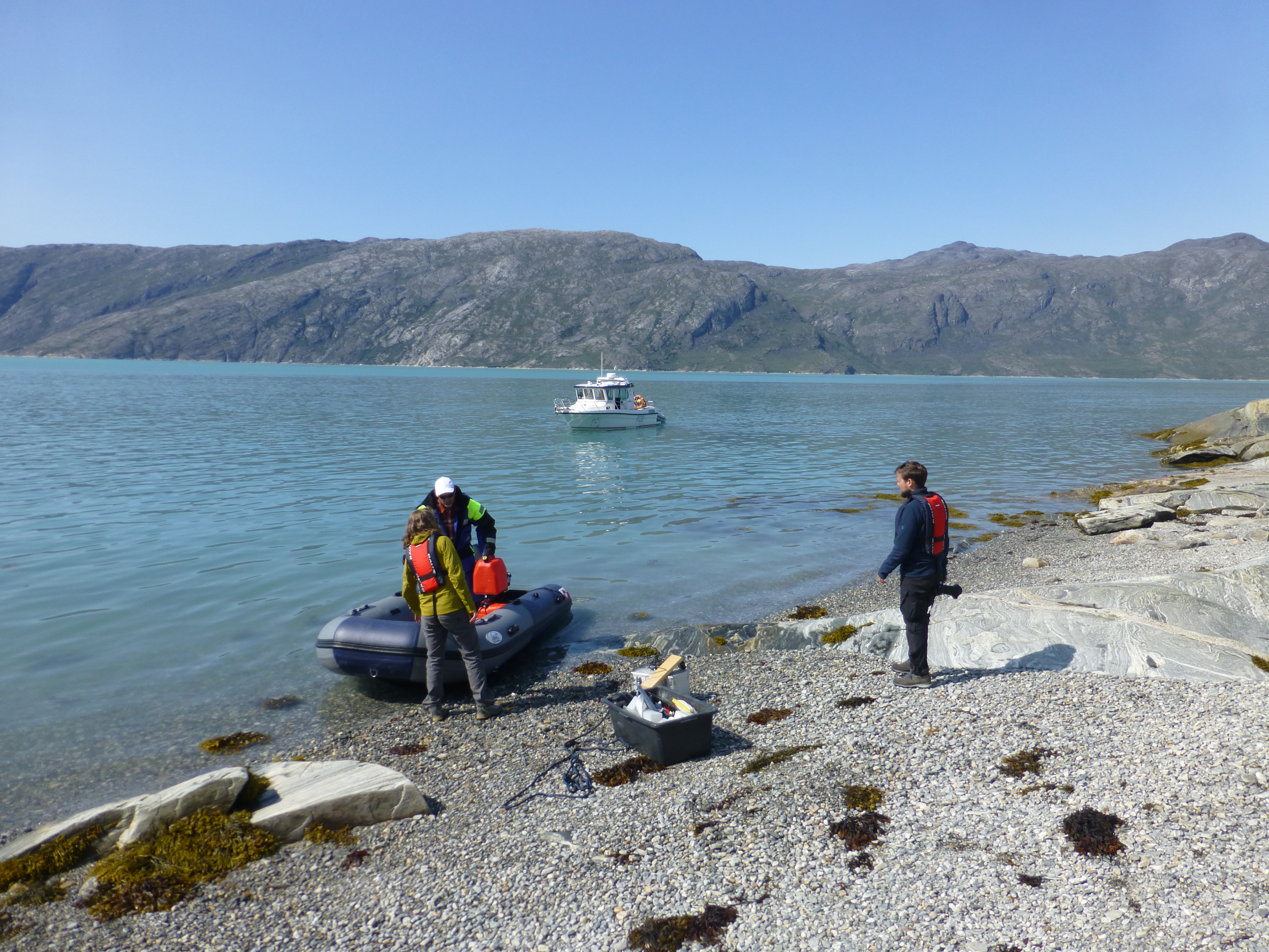
two people unloading equipment from a boat

Harnessing Geodesy to Detect Arctic Sediment Mass Transfer
This project is the focus of PhD candidate Jasmine Hansen's research, funded through a Future Investigators in NASA Earth and Space Science and Technology (FINESST) fellowship.
The project is focuses on assessing thei mpact of sediment mass depositon on crustal flexure around global satellite navigation system (GNSS) sites in Greenland. As mass moves from the ice sheet margin to the coast vast quantities of water and sediment are transported through fluvlal systems. This movement of mass results in elastic flexure of the Earth's crust over near intantaneous timescales. However, because quantifying sediment movement in Greenland is very challenging, the amount of deformation remains unconstrained introducing unknown uncertainties into solid Earth corrections which are utilized for GRACE and GRACE-FO estimates of ice mass loss.
A combination of digital elevation model (DEM) and interferometric synthetic aperture radar (InSAR) timeseries analysis are used to detect surface mass transfer and crustal flexure at very high resolutions.